JMC_C10_02596_001_001.jpg
Área de identidad
Código de referencia
FC-1-3-2-2-2596C10
Título
La guerra en mapas: 1939 - 1940. German Library of Information, Nueva York, 1941.
Fecha(s)
Nivel de descripción
Unidad documental simple
Volumen y soporte
Área de contexto
Nombre del productor
Historia archivística
Origen del ingreso o transferencia
Donación José María Castañé
Área de contenido y estructura
Alcance y contenido
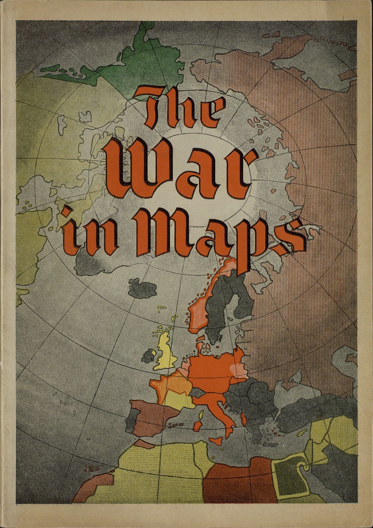
Portada con mapa de Europa y Norte de África en color, con título en letras anaranjadas. Impreso en tinta negra con mapas.
Valorización, destrucción y programación
Acumulaciones
Sistema de arreglo
Área de condiciones de acceso y uso
Condiciones de acceso
Condiciones
Idioma del material
- inglés
Escritura del material
Notas sobre las lenguas y escrituras
Características físicas y requisitos técnicos
Medidas: 30,5 x 21,3 x ,5 cm Conservación: Excelente.
Instrumentos de descripción
instrumento de descripción generado
Área de materiales relacionados
Existencia y localización de originales
Residencia de Estudiantes-Madrid
Existencia y localización de copias
Unidades de descripción relacionadas
Área de notas
Notas
The war in maps: 1939 - 1940. German Library of Information, New York, 1941.
Identificador/es alternativo(os)
Puntos de acceso
Puntos de acceso por materia
Puntos de acceso por autoridad
- José María Castañé (Accumulator)